River Severn flood plain
Introduction
The photograph on this page of River Severn flood plain by Graham Horn as part of the Geograph project.
The Geograph project started in 2005 with the aim of publishing, organising and preserving representative images for every square kilometre of Great Britain, Ireland and the Isle of Man.

There are currently over 7.5m images from over 14,400 individuals and you can help contribute to the project by visiting https://www.geograph.org.uk
River Severn flood plain
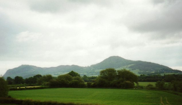
Image: © Graham Horn Taken: 3 Jun 2000
From Pool Quay, looking across the flood plain of the River Severn. The hills behind are the Breiddens.
Images are licensed for reuse under creativecommons.org/licenses/by-sa/2.0
Image Location


Leaflet Map data © OpenStreetMap
Latitude
52.694982
Longitude
-3.100822