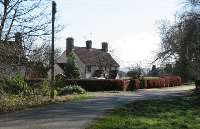
Houses at North Moor
Introduction
The photograph on this page of Houses at North Moor by Gordon Hatton as part of the Geograph project.
The Geograph project started in 2005 with the aim of publishing, organising and preserving representative images for every square kilometre of Great Britain, Ireland and the Isle of Man.
There are currently over 7.5m images from over 14,400 individuals and you can help contribute to the project by visiting https://www.geograph.org.uk

Image: © Gordon Hatton Taken: 25 Feb 2022
North Moor is no more than a scattered hamlet at the southern edge of Wykeham Forest. The name doesn't appear on old maps and the only residence shown on maps of pre 1950 date is that of Wykeham Low Moor House in the same place as Wykeham Moor Cottages are shown on current OS maps. I suspect that the group of houses shown here may have been built for forestry workers as they first appear on the OS map of 1950.

