Not the Salt Way. Field Edge Drive, Poppyfields, Barrow-upon-Soar
Introduction
The photograph on this page of Not the Salt Way. Field Edge Drive, Poppyfields, Barrow-upon-Soar by Tim Heaton as part of the Geograph project.
The Geograph project started in 2005 with the aim of publishing, organising and preserving representative images for every square kilometre of Great Britain, Ireland and the Isle of Man.

There are currently over 7.5m images from over 14,400 individuals and you can help contribute to the project by visiting https://www.geograph.org.uk
Not the Salt Way. Field Edge Drive, Poppyfields, Barrow-upon-Soar
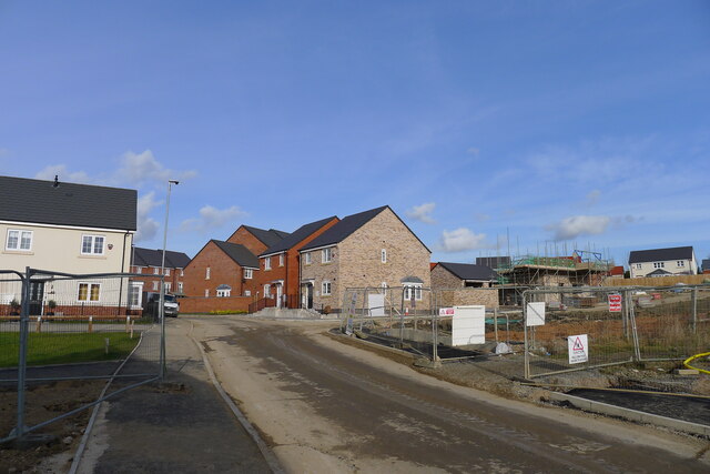
Image: © Tim Heaton Taken: 11 Feb 2022
But according to "An archaeological field evaluation at 'The Breaches', Melton Road, Barrow upon Soar", University of Leicester Archaeological Services https://doi.org/10.5284/1034951 the Salt Way may have run close to this line on its approach to the River Soar
Images are licensed for reuse under creativecommons.org/licenses/by-sa/2.0
Image Location
Latitude
52.750438
Longitude
-1.135932