West end of Langley Park
Introduction
The photograph on this page of West end of Langley Park by Robert Graham as part of the Geograph project.
The Geograph project started in 2005 with the aim of publishing, organising and preserving representative images for every square kilometre of Great Britain, Ireland and the Isle of Man.

There are currently over 7.5m images from over 14,400 individuals and you can help contribute to the project by visiting https://www.geograph.org.uk
West end of Langley Park
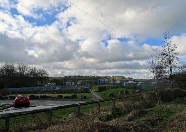
Image: © Robert Graham Taken: 21 Feb 2022
View south from the Lanchester Valley Walk, the former railway which runs alongside the village. On the horizon can be seen the old agricultural village of Esh.
Images are licensed for reuse under creativecommons.org/licenses/by-sa/2.0
Image Location
Latitude
54.7999
Longitude
-1.677204