Top end of Railway Street
Introduction
The photograph on this page of Top end of Railway Street by Robert Graham as part of the Geograph project.
The Geograph project started in 2005 with the aim of publishing, organising and preserving representative images for every square kilometre of Great Britain, Ireland and the Isle of Man.

There are currently over 7.5m images from over 14,400 individuals and you can help contribute to the project by visiting https://www.geograph.org.uk
Top end of Railway Street
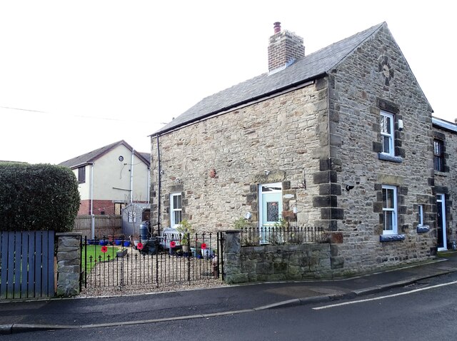
Image: © Robert Graham Taken: 21 Feb 2022
This is a late 19th century terrace in the ex-mining village of Langley Park. This end house is athwart the other houses and may have been a larger officials house originally, but that's only a guess.
Images are licensed for reuse under creativecommons.org/licenses/by-sa/2.0
Image Location
Latitude
54.800782
Longitude
-1.670975