Stone Stile, Far Oakridge
Introduction
The photograph on this page of Stone Stile, Far Oakridge by Mr Red as part of the Geograph project.
The Geograph project started in 2005 with the aim of publishing, organising and preserving representative images for every square kilometre of Great Britain, Ireland and the Isle of Man.

There are currently over 7.5m images from over 14,400 individuals and you can help contribute to the project by visiting https://www.geograph.org.uk
Stone Stile, Far Oakridge
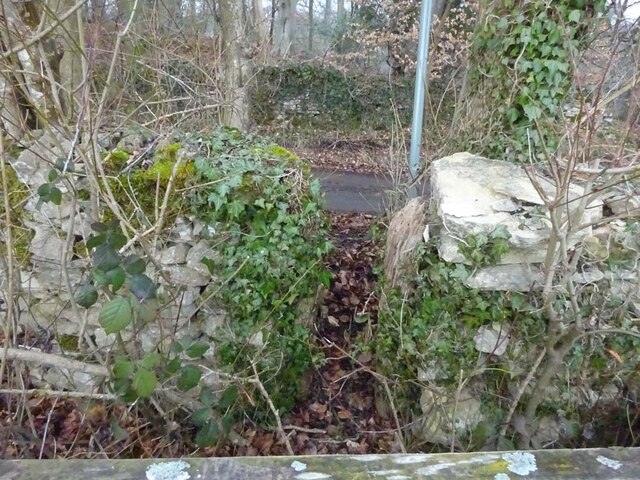
Image: © Mr Red Taken: 24 Feb 2022
Off the road going NE from Far Oakridge between 'The Frith' & 'Frith House' on Gloucestershire footpath MBL108. Looking NW from the field, the view NW from the road is Image
Images are licensed for reuse under creativecommons.org/licenses/by-sa/2.0
Image Location
Latitude
51.736192
Longitude
-2.104724