Flooding on Arthur's Rein
Introduction
The photograph on this page of Flooding on Arthur's Rein by Chris Heaton as part of the Geograph project.
The Geograph project started in 2005 with the aim of publishing, organising and preserving representative images for every square kilometre of Great Britain, Ireland and the Isle of Man.

There are currently over 7.5m images from over 14,400 individuals and you can help contribute to the project by visiting https://www.geograph.org.uk
Flooding on Arthur's Rein
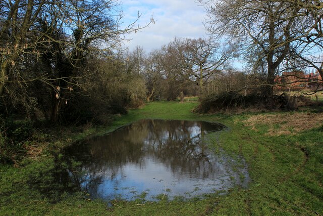
Image: © Chris Heaton Taken: 23 Feb 2022
Beside Wyke Beck, which appears to have burst it's banks on this spot.
Images are licensed for reuse under creativecommons.org/licenses/by-sa/2.0
Image Location
Latitude
53.821586
Longitude
-1.482124