Red Hall Trig Point
Introduction
The photograph on this page of Red Hall Trig Point by Mel Towler as part of the Geograph project.
The Geograph project started in 2005 with the aim of publishing, organising and preserving representative images for every square kilometre of Great Britain, Ireland and the Isle of Man.

There are currently over 7.5m images from over 14,400 individuals and you can help contribute to the project by visiting https://www.geograph.org.uk
Red Hall Trig Point
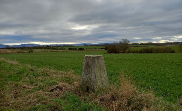
Image: © Mel Towler Taken: 22 Jan 2022
The trig point [TP5606] at Red Hall, near Kirklevington, has the OS Flush Bracket S4352 embedded into the pillar. The Cleveland Hills are in the background.
Images are licensed for reuse under creativecommons.org/licenses/by-sa/2.0
Image Location
Latitude
54.488388
Longitude
-1.321994