Path from Turnpyke Lodge
Introduction
The photograph on this page of Path from Turnpyke Lodge by Neil Owen as part of the Geograph project.
The Geograph project started in 2005 with the aim of publishing, organising and preserving representative images for every square kilometre of Great Britain, Ireland and the Isle of Man.

There are currently over 7.5m images from over 14,400 individuals and you can help contribute to the project by visiting https://www.geograph.org.uk
Path from Turnpyke Lodge
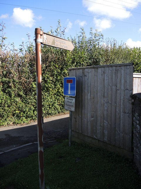
Image: © Neil Owen Taken: 1 Oct 2021
The footpath leaves the busy road junction in Churchill and heads up the Mendips. After climbing the heights of Dolebury Warren the path turns east along the ridge to Burrington Combe.
Images are licensed for reuse under creativecommons.org/licenses/by-sa/2.0
Image Location


Leaflet Map data © OpenStreetMap
Latitude
51.334423
Longitude
-2.793169