Lost Welly Creek at Waddecar Scout Camp
Introduction
The photograph on this page of Lost Welly Creek at Waddecar Scout Camp by Howard Greenwood as part of the Geograph project.
The Geograph project started in 2005 with the aim of publishing, organising and preserving representative images for every square kilometre of Great Britain, Ireland and the Isle of Man.

There are currently over 7.5m images from over 14,400 individuals and you can help contribute to the project by visiting https://www.geograph.org.uk
Lost Welly Creek at Waddecar Scout Camp
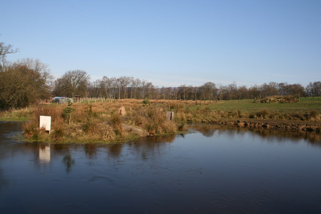
Image: © Howard Greenwood Taken: 16 Feb 2008
"Lost Welly Creek" is a man made pond, used for canoeing at Waddecar Scout Camp; it is located in an area of the site called "Bill's Meadow" which was purchased with a legacy from a long time supporter of the site (Mr. Bill Fazackerley). The trees on the left run along Snape Rake Lane, those at the rear of the Field are at the top of the valley of the River Brock.
Images are licensed for reuse under creativecommons.org/licenses/by-sa/2.0
Image Location


Leaflet Map data © OpenStreetMap
Latitude
53.889568
Longitude
-2.673686