Trac coedwigaeth / Forestry track
Introduction
The photograph on this page of Trac coedwigaeth / Forestry track by Alan Richards as part of the Geograph project.
The Geograph project started in 2005 with the aim of publishing, organising and preserving representative images for every square kilometre of Great Britain, Ireland and the Isle of Man.

There are currently over 7.5m images from over 14,400 individuals and you can help contribute to the project by visiting https://www.geograph.org.uk
Trac coedwigaeth / Forestry track
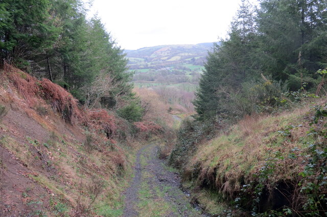
Image: © Alan Richards Taken: 23 Feb 2022
Trac coedwigaeth yn Allt Ty'r Coed yn mynd i lawr y waered. A forestry track at Allt Ty'r Coed (trans. wooded slope of the house) descending the hill.
Images are licensed for reuse under creativecommons.org/licenses/by-sa/2.0
Image Location


Leaflet Map data © OpenStreetMap
Latitude
52.031597
Longitude
-3.763907