Barn range at Netchwood Manor Farm
Introduction
The photograph on this page of Barn range at Netchwood Manor Farm by Richard Law as part of the Geograph project.
The Geograph project started in 2005 with the aim of publishing, organising and preserving representative images for every square kilometre of Great Britain, Ireland and the Isle of Man.

There are currently over 7.5m images from over 14,400 individuals and you can help contribute to the project by visiting https://www.geograph.org.uk
Barn range at Netchwood Manor Farm
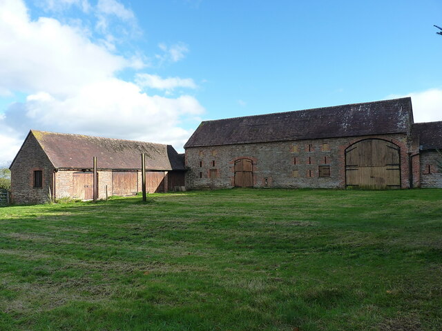
Image: © Richard Law Taken: 30 Oct 2021
The larger one looks like a rather fine, and well preserved, example of an early 19th century agricultural barn.
Images are licensed for reuse under creativecommons.org/licenses/by-sa/2.0
Image Location
Latitude
52.527931
Longitude
-2.567011