View across to Wallnook from Front Street, Langley Park
Introduction
The photograph on this page of View across to Wallnook from Front Street, Langley Park by Robert Graham as part of the Geograph project.
The Geograph project started in 2005 with the aim of publishing, organising and preserving representative images for every square kilometre of Great Britain, Ireland and the Isle of Man.

There are currently over 7.5m images from over 14,400 individuals and you can help contribute to the project by visiting https://www.geograph.org.uk
View across to Wallnook from Front Street, Langley Park
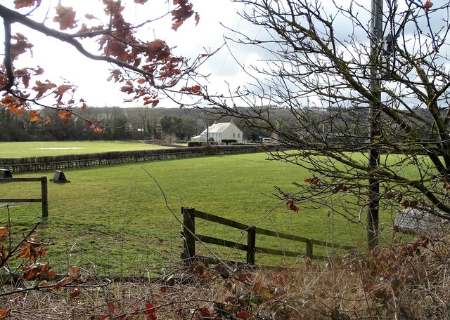
Image: © Robert Graham Taken: 21 Feb 2022
Looking across the fields from the road into the village. Waterford Farm is in the centre. The hamlet of Wallnook is a lot older than the main village at Langley Park, which is a late 19th century mining village.
Images are licensed for reuse under creativecommons.org/licenses/by-sa/2.0
Image Location
Latitude
54.802556
Longitude
-1.66256