Paudy Lane past Quorn Park
Introduction
The photograph on this page of Paudy Lane past Quorn Park by Tim Heaton as part of the Geograph project.
The Geograph project started in 2005 with the aim of publishing, organising and preserving representative images for every square kilometre of Great Britain, Ireland and the Isle of Man.

There are currently over 7.5m images from over 14,400 individuals and you can help contribute to the project by visiting https://www.geograph.org.uk
Paudy Lane past Quorn Park
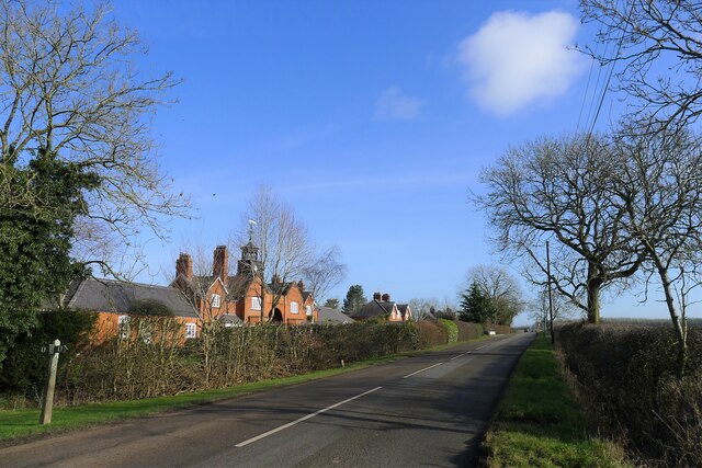
Image: © Tim Heaton Taken: 11 Feb 2022
Datestone below the clock reads 'Q.H. 1905' - this is the former home, with stables and kennels, of the famous Quorn Hunt. Paudy Lane follows the line of the Salt Way towards Six Hills
Images are licensed for reuse under creativecommons.org/licenses/by-sa/2.0
Image Location


Leaflet Map data © OpenStreetMap
Latitude
52.758005
Longitude
-1.113703