Water works information plate, Scar Lane (B6111), Golcar
Introduction
The photograph on this page of Water works information plate, Scar Lane (B6111), Golcar by habiloid as part of the Geograph project.
The Geograph project started in 2005 with the aim of publishing, organising and preserving representative images for every square kilometre of Great Britain, Ireland and the Isle of Man.

There are currently over 7.5m images from over 14,400 individuals and you can help contribute to the project by visiting https://www.geograph.org.uk
Water works information plate, Scar Lane (B6111), Golcar
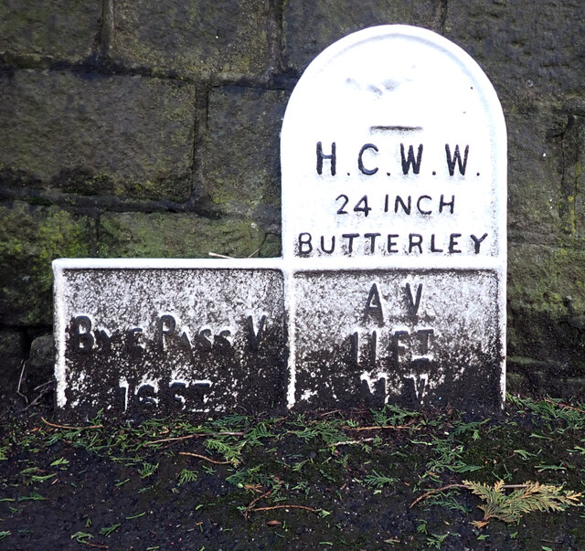
Image: © habiloid Taken: 21 Feb 2022
The plate reads: "H.C.W.W 24 INCH BUTTERLEY BYE PASS V 16FT A V 11FT M V" It can be seen in context in Image
Images are licensed for reuse under creativecommons.org/licenses/by-sa/2.0
Image Location
Latitude
53.639334
Longitude
-1.84327