Blind Lane
Introduction
The photograph on this page of Blind Lane by Trevor Littlewood as part of the Geograph project.
The Geograph project started in 2005 with the aim of publishing, organising and preserving representative images for every square kilometre of Great Britain, Ireland and the Isle of Man.

There are currently over 7.5m images from over 14,400 individuals and you can help contribute to the project by visiting https://www.geograph.org.uk
Blind Lane
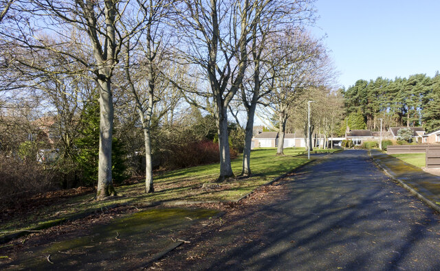
Image: © Trevor Littlewood Taken: 22 Feb 2022
Blind Lane is in Chester-Le-Street; it lies north of and parallel to the A693; the road is residential and has detached bungalows. Being a cul-de-sac it's aptly named - perhaps for that very reason.
Images are licensed for reuse under creativecommons.org/licenses/by-sa/2.0
Image Location
Latitude
54.86706
Longitude
-1.57103