Maybole High Street after the by-pass opened
Introduction
The photograph on this page of Maybole High Street after the by-pass opened by Mary and Angus Hogg as part of the Geograph project.
The Geograph project started in 2005 with the aim of publishing, organising and preserving representative images for every square kilometre of Great Britain, Ireland and the Isle of Man.

There are currently over 7.5m images from over 14,400 individuals and you can help contribute to the project by visiting https://www.geograph.org.uk
Maybole High Street after the by-pass opened
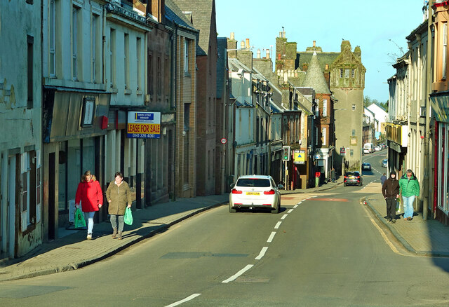
Image: © Mary and Angus Hogg Taken: 21 Feb 2022
We always knew that the new by-pass would make a big difference to the town centre but the result has exceeded expectations, especially for pedestrians. This is what High Street could look like before – Image was taken in August 2019 and Image in neighbouring Whitehall in September 2006. The next stage will be town centre regeneration.
Images are licensed for reuse under creativecommons.org/licenses/by-sa/2.0
Image Location
Latitude
55.353717
Longitude
-4.682538