Water feature at Ixworth Abbey
Introduction
The photograph on this page of Water feature at Ixworth Abbey by Alan Murray-Rust as part of the Geograph project.
The Geograph project started in 2005 with the aim of publishing, organising and preserving representative images for every square kilometre of Great Britain, Ireland and the Isle of Man.

There are currently over 7.5m images from over 14,400 individuals and you can help contribute to the project by visiting https://www.geograph.org.uk
Water feature at Ixworth Abbey
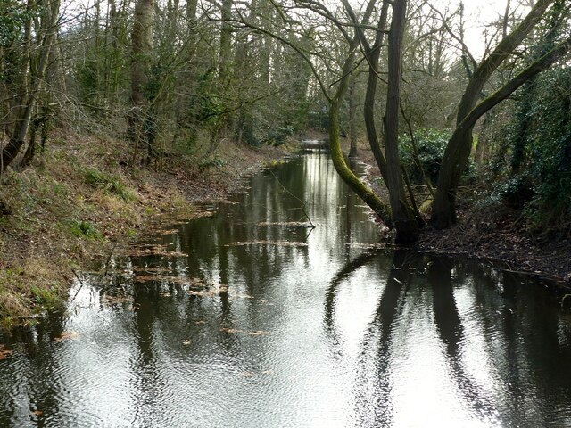
Image: © Alan Murray-Rust Taken: 17 Feb 2022
Mapped as a moat, it is thought more likely to have been a fish-pond attached to the Priory.
Images are licensed for reuse under creativecommons.org/licenses/by-sa/2.0
Image Location
Latitude
52.299225
Longitude
0.829913