The aftermath of Storm Eunice - Flooded pasture land
Introduction
The photograph on this page of The aftermath of Storm Eunice - Flooded pasture land by Peter Wood as part of the Geograph project.
The Geograph project started in 2005 with the aim of publishing, organising and preserving representative images for every square kilometre of Great Britain, Ireland and the Isle of Man.

There are currently over 7.5m images from over 14,400 individuals and you can help contribute to the project by visiting https://www.geograph.org.uk
The aftermath of Storm Eunice - Flooded pasture land
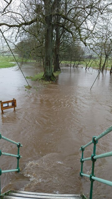
Image: © Peter Wood Taken: 20 Feb 2022
Looking north-eastward from the northern end of the Suspension Bridge that crosses the River Wharfe in Addingham. Storm Eunice struck on 18th February 2022.
Images are licensed for reuse under creativecommons.org/licenses/by-sa/2.0
Image Location


Leaflet Map data © OpenStreetMap
Latitude
53.945698
Longitude
-1.873586