Royal Sands, Ramsgate
Introduction
The photograph on this page of Royal Sands, Ramsgate by Christine Johnstone as part of the Geograph project.
The Geograph project started in 2005 with the aim of publishing, organising and preserving representative images for every square kilometre of Great Britain, Ireland and the Isle of Man.

There are currently over 7.5m images from over 14,400 individuals and you can help contribute to the project by visiting https://www.geograph.org.uk
Royal Sands, Ramsgate
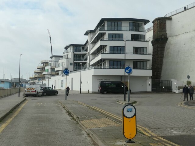
Image: © Christine Johnstone Taken: 16 Feb 2022
A housing development under East Cliff. The site was previously an amusement park and before that, a railway station. Historically, Ramsgate's harbour is royal, not its beach.
Images are licensed for reuse under creativecommons.org/licenses/by-sa/2.0
Image Location
Latitude
51.334109
Longitude
1.426246