Radstone Gate development
Introduction
The photograph on this page of Radstone Gate development by John Baker as part of the Geograph project.
The Geograph project started in 2005 with the aim of publishing, organising and preserving representative images for every square kilometre of Great Britain, Ireland and the Isle of Man.

There are currently over 7.5m images from over 14,400 individuals and you can help contribute to the project by visiting https://www.geograph.org.uk
Radstone Gate development
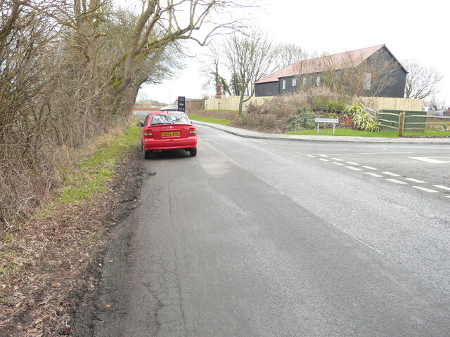
Image: © John Baker Taken: 29 Jan 2022
Planning permission was approved, with conditions, by Folkestone and Hythe District Council under application number Y15/1292/SH for the “demolition of buildings and structures, remediation of land and the erection of 30 houses and two B1 office units of 465m2 floor area, plus the closure of existing access to Stone Street and creation of new access to Thorn Lane”. This was a similar view, from Thorn Lane, of the Image in April 2021.
Images are licensed for reuse under creativecommons.org/licenses/by-sa/2.0
Image Location
Latitude
51.179566
Longitude
1.053128