Gresford memorial
Introduction
The photograph on this page of Gresford memorial by Mike Parker as part of the Geograph project.
The Geograph project started in 2005 with the aim of publishing, organising and preserving representative images for every square kilometre of Great Britain, Ireland and the Isle of Man.

There are currently over 7.5m images from over 14,400 individuals and you can help contribute to the project by visiting https://www.geograph.org.uk
Gresford memorial
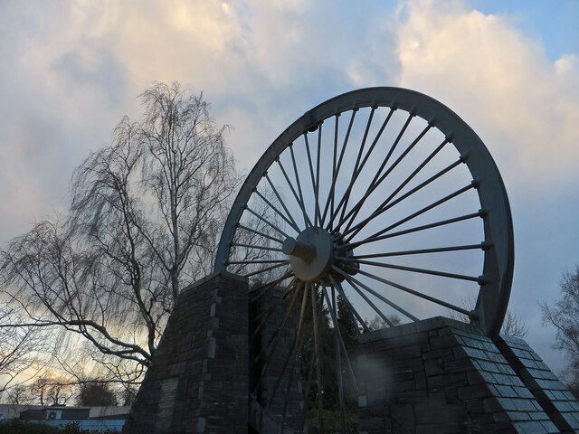
Image: © Mike Parker Taken: 16 Feb 2022
A truly moving memorial to the 266 men killed by underground explosions in Gresford colliery in 1934. So dangerous was the situation, the pit had to be capped, and only eleven bodies were brought out. The rest were entombed where they died.
Images are licensed for reuse under creativecommons.org/licenses/by-sa/2.0
Image Location
Latitude
53.07262
Longitude
-2.991022