Approaching Wyke Champflower
Introduction
The photograph on this page of Approaching Wyke Champflower by Tim Heaton as part of the Geograph project.
The Geograph project started in 2005 with the aim of publishing, organising and preserving representative images for every square kilometre of Great Britain, Ireland and the Isle of Man.

There are currently over 7.5m images from over 14,400 individuals and you can help contribute to the project by visiting https://www.geograph.org.uk
Approaching Wyke Champflower
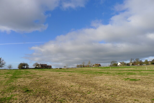
Image: © Tim Heaton Taken: 2 Feb 2022
A village of a few scattered houses and farms. Its name presumably derives from 'Wyke' (previously 'Week') = 'the dwelling' https://www.oxfordreference.com/view/10.1093/acref/9780199609086.001.0001/acref-9780199609086-e-14382?rskey=PO03sW&result=14561 and ownership by the Champflower family from Normandy, who settled in Somerset after the Conquest https://somerset.epexio.com/records/DD/SG/1
Images are licensed for reuse under creativecommons.org/licenses/by-sa/2.0
Image Location
Latitude
51.109332
Longitude
-2.484048