Bruton from the dovecote hill
Introduction
The photograph on this page of Bruton from the dovecote hill by Tim Heaton as part of the Geograph project.
The Geograph project started in 2005 with the aim of publishing, organising and preserving representative images for every square kilometre of Great Britain, Ireland and the Isle of Man.

There are currently over 7.5m images from over 14,400 individuals and you can help contribute to the project by visiting https://www.geograph.org.uk
Bruton from the dovecote hill
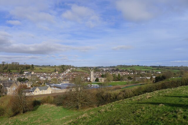
Image: © Tim Heaton Taken: 2 Feb 2022
Settled in the valley of the River Brue ('Brue' is a Celtic river name meaning 'brisk' https://www.oxfordreference.com/view/10.1093/acref/9780199609086.001.0001/acref-9780199609086-e-2391?rskey=qEu9I3&result=2401 ) . King's Bruton school, founded in 1519, on the other side of the railway line; and Church of St Mary beyond.
Images are licensed for reuse under creativecommons.org/licenses/by-sa/2.0
Image Location
Latitude
51.112696
Longitude
-2.452369