St Mary's C of E Primary School, The Green, Chipping Norton
Introduction
The photograph on this page of St Mary's C of E Primary School, The Green, Chipping Norton by Stephen Craven as part of the Geograph project.
The Geograph project started in 2005 with the aim of publishing, organising and preserving representative images for every square kilometre of Great Britain, Ireland and the Isle of Man.

There are currently over 7.5m images from over 14,400 individuals and you can help contribute to the project by visiting https://www.geograph.org.uk
St Mary's C of E Primary School, The Green, Chipping Norton
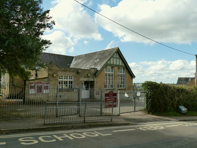
Image: © Stephen Craven Taken: 20 Sep 2021
A Church of England school; the gabled building facing the road appears from early 20th century maps to be the original school building, but it has expanded over the years with the town (the population has grown from less than 4000 in 1910 to around 7000 presently, although that it quite modest growth compared to many other country towns).
Images are licensed for reuse under creativecommons.org/licenses/by-sa/2.0
Image Location


Leaflet Map data © OpenStreetMap
Latitude
51.937664
Longitude
-1.546848