Going high and low
Introduction
The photograph on this page of Going high and low by Neil Owen as part of the Geograph project.
The Geograph project started in 2005 with the aim of publishing, organising and preserving representative images for every square kilometre of Great Britain, Ireland and the Isle of Man.

There are currently over 7.5m images from over 14,400 individuals and you can help contribute to the project by visiting https://www.geograph.org.uk
Going high and low
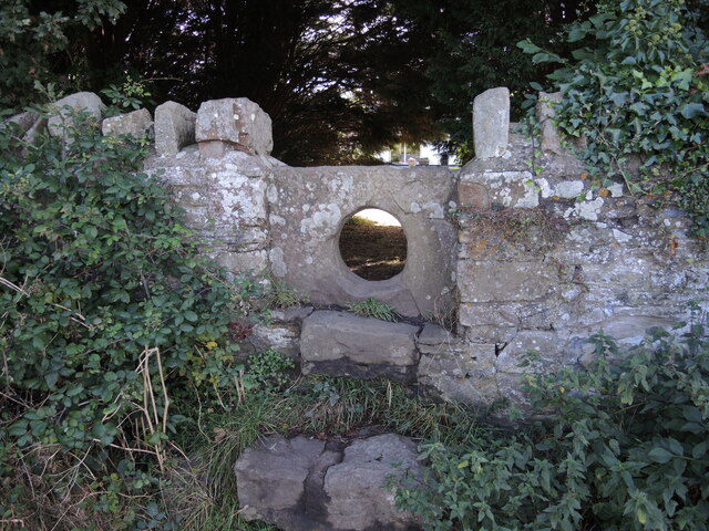
Image: © Neil Owen Taken: 29 Sep 2021
Crossing the Parish Brook on two or four legs is made possible.
Images are licensed for reuse under creativecommons.org/licenses/by-sa/2.0
Image Location
Latitude
51.429808
Longitude
-2.782594