Farm buildings north of Hill End
Introduction
The photograph on this page of Farm buildings north of Hill End by Trevor Littlewood as part of the Geograph project.
The Geograph project started in 2005 with the aim of publishing, organising and preserving representative images for every square kilometre of Great Britain, Ireland and the Isle of Man.

There are currently over 7.5m images from over 14,400 individuals and you can help contribute to the project by visiting https://www.geograph.org.uk
Farm buildings north of Hill End
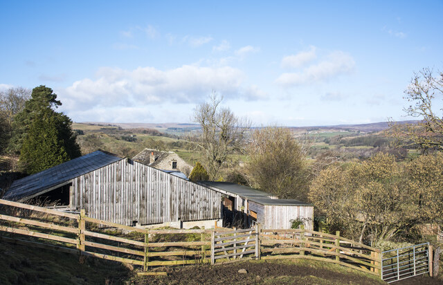
Image: © Trevor Littlewood Taken: 15 Feb 2022
The buildings are at, or close to Dryburn Side but that name appears to refer to another property a bit lower on the slope, hidden by these. Beyond the buildings and nearby trees, Weardale extends to the west.
Images are licensed for reuse under creativecommons.org/licenses/by-sa/2.0
Image Location
Latitude
54.721784
Longitude
-1.977302