The way into Watery Lane
Introduction
The photograph on this page of The way into Watery Lane by Neil Owen as part of the Geograph project.
The Geograph project started in 2005 with the aim of publishing, organising and preserving representative images for every square kilometre of Great Britain, Ireland and the Isle of Man.

There are currently over 7.5m images from over 14,400 individuals and you can help contribute to the project by visiting https://www.geograph.org.uk
The way into Watery Lane
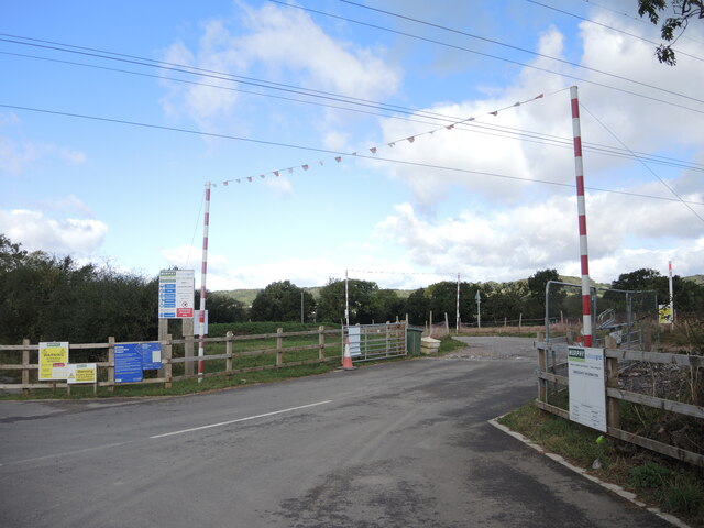
Image: © Neil Owen Taken: 29 Sep 2021
What was a quiet and inconspicuous lane near Nailsea has been breached by some heavy industry. A massive project to link Bridgwater with Seabank station near Avonmouth is to connect them with underground power cables. The project is, locally, driving a 10.5km line through the area up to Portishead. Overall the new power lines will connect up to new and renewable electricity sources, as well as the Hinckley C nuclear power station currently under construction. Soon the erection of the new 'T' pylons will begin across the landscape to replace the old versions. The scheme is expected to be completed in 2025.
Images are licensed for reuse under creativecommons.org/licenses/by-sa/2.0
Image Location
Latitude
51.431357
Longitude
-2.779456