Burway Bowling Club and playing fields
Introduction
The photograph on this page of Burway Bowling Club and playing fields by Richard Webb as part of the Geograph project.
The Geograph project started in 2005 with the aim of publishing, organising and preserving representative images for every square kilometre of Great Britain, Ireland and the Isle of Man.

There are currently over 7.5m images from over 14,400 individuals and you can help contribute to the project by visiting https://www.geograph.org.uk
Burway Bowling Club and playing fields
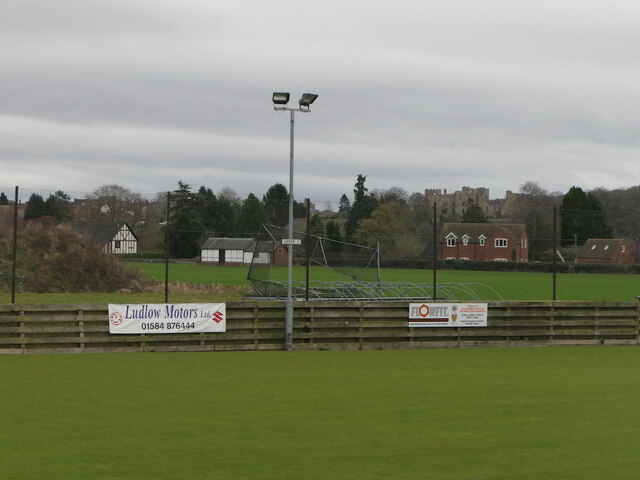
Image: © Richard Webb Taken: 9 Feb 2022
Next to what were the playing fields of Ludlow Grammar and Ludlow High School. Some of the considerable acreage of recreational land ended up under houses in the 1980s. 11 year olds had to run from here to the school buildings in the town via Maryknoll and Whitcliffe Woods (c.6km) several times a term. Dreaded by most, I loved it. The cricket pitch here has been used by Shropshire.
Images are licensed for reuse under creativecommons.org/licenses/by-sa/2.0
Image Location
Latitude
52.376924
Longitude
-2.726371