Hogarth Road, near Thurcaston
Introduction
The photograph on this page of Hogarth Road, near Thurcaston by Kate Jewell as part of the Geograph project.
The Geograph project started in 2005 with the aim of publishing, organising and preserving representative images for every square kilometre of Great Britain, Ireland and the Isle of Man.

There are currently over 7.5m images from over 14,400 individuals and you can help contribute to the project by visiting https://www.geograph.org.uk
Hogarth Road, near Thurcaston
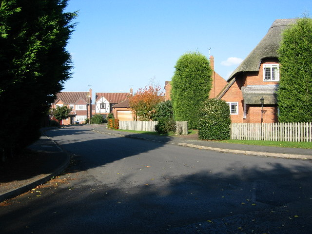
Image: © Kate Jewell Taken: 27 Oct 2005
Modern green belt housing off Leicester Road between Birstall and the village of Thurcaston showing the junction of Hogarth Road and Bevan Road. There is a similar development about half a mile to the south with a Bevan Road which also ends abruptly in a field; obvious intentions to join the two together at some point.
Images are licensed for reuse under creativecommons.org/licenses/by-sa/2.0
Image Location
Latitude
52.684202
Longitude
-1.150997