Churchyard path, Charlbury
Introduction
The photograph on this page of Churchyard path, Charlbury by Derek Harper as part of the Geograph project.
The Geograph project started in 2005 with the aim of publishing, organising and preserving representative images for every square kilometre of Great Britain, Ireland and the Isle of Man.

There are currently over 7.5m images from over 14,400 individuals and you can help contribute to the project by visiting https://www.geograph.org.uk
Churchyard path, Charlbury
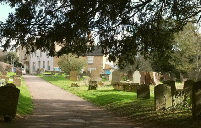
Image: © Derek Harper Taken: 11 Feb 2022
From close to the church entrance, with houses on the bend of Church Street and Park Street. On the right are some of the headstones shown in Image
Images are licensed for reuse under creativecommons.org/licenses/by-sa/2.0
Image Location
Latitude
51.872044
Longitude
-1.484614