Smarden Bell Road
Introduction
The photograph on this page of Smarden Bell Road by Marathon as part of the Geograph project.
The Geograph project started in 2005 with the aim of publishing, organising and preserving representative images for every square kilometre of Great Britain, Ireland and the Isle of Man.

There are currently over 7.5m images from over 14,400 individuals and you can help contribute to the project by visiting https://www.geograph.org.uk
Smarden Bell Road
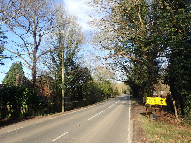
Image: © Marathon Taken: 12 Feb 2022
The Smarden Bell pub is so distinctive that it is included on signposts in the area as well as road names. This is on the corner of Lewd Lane.
Images are licensed for reuse under creativecommons.org/licenses/by-sa/2.0
Image Location


Leaflet Map data © OpenStreetMap
Latitude
51.165138
Longitude
0.69225