Lane near Cold Harbour
Introduction
The photograph on this page of Lane near Cold Harbour by Marathon as part of the Geograph project.
The Geograph project started in 2005 with the aim of publishing, organising and preserving representative images for every square kilometre of Great Britain, Ireland and the Isle of Man.

There are currently over 7.5m images from over 14,400 individuals and you can help contribute to the project by visiting https://www.geograph.org.uk
Lane near Cold Harbour
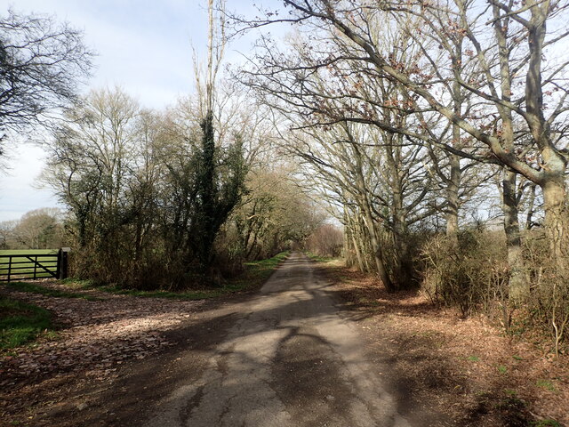
Image: © Marathon Taken: 12 Feb 2022
This unnamed lane is seen just after crossing the line of the former Kent & East Sussex Railway - see https://www.geograph.org.uk/photo/7094984
Images are licensed for reuse under creativecommons.org/licenses/by-sa/2.0
Image Location
Latitude
51.150192
Longitude
0.629746