Monarch's Way at West Bay
Introduction
The photograph on this page of Monarch's Way at West Bay by John M as part of the Geograph project.
The Geograph project started in 2005 with the aim of publishing, organising and preserving representative images for every square kilometre of Great Britain, Ireland and the Isle of Man.

There are currently over 7.5m images from over 14,400 individuals and you can help contribute to the project by visiting https://www.geograph.org.uk
Monarch's Way at West Bay
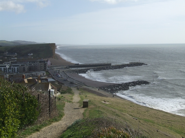
Image: © John M Taken: 26 Feb 2008
The southernmost point on the Monarch's Way. After failing to find a passage here the King Charles II headed inland before trying again much further along the coast at Shoreham.
Images are licensed for reuse under creativecommons.org/licenses/by-sa/2.0
Image Location


Leaflet Map data © OpenStreetMap
Latitude
50.712308
Longitude
-2.769731