The meanders of Moor Brook
Introduction
The photograph on this page of The meanders of Moor Brook by John Lucas as part of the Geograph project.
The Geograph project started in 2005 with the aim of publishing, organising and preserving representative images for every square kilometre of Great Britain, Ireland and the Isle of Man.

There are currently over 7.5m images from over 14,400 individuals and you can help contribute to the project by visiting https://www.geograph.org.uk
The meanders of Moor Brook
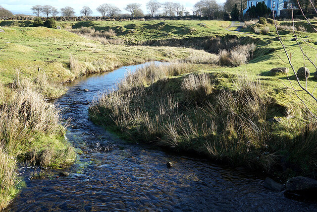
Image: © John Lucas Taken: 9 Feb 2022
The brook flows down from the moor, its source being in the vicinity of West Mill Tor at Image It joins the East Okement River at West Cleave, GR: Image
Images are licensed for reuse under creativecommons.org/licenses/by-sa/2.0
Image Location


Leaflet Map data © OpenStreetMap
Latitude
50.721055
Longitude
-3.995733