Sheep Street, Charlbury
Introduction
The photograph on this page of Sheep Street, Charlbury by Derek Harper as part of the Geograph project.
The Geograph project started in 2005 with the aim of publishing, organising and preserving representative images for every square kilometre of Great Britain, Ireland and the Isle of Man.

There are currently over 7.5m images from over 14,400 individuals and you can help contribute to the project by visiting https://www.geograph.org.uk
Sheep Street, Charlbury
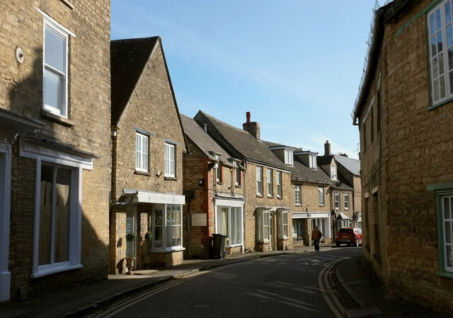
Image: © Derek Harper Taken: 11 Feb 2022
The building houses Four Shires Kitchen is listed and described at https://historicengland.org.uk/listing/the-list/list-entry/1367841?section=official-listing . The building on the left is also listed https://historicengland.org.uk/listing/the-list/list-entry/1198459?section=official-listing . Sheep Street, the old main route through the town, is followed by the Oxfordshire Way.
Images are licensed for reuse under creativecommons.org/licenses/by-sa/2.0
Image Location
Latitude
51.872301
Longitude
-1.481706