Road to Lower Catesby - Hellidon, Northamptonshire
Introduction
The photograph on this page of Road to Lower Catesby - Hellidon, Northamptonshire by Martin Richard Phelan as part of the Geograph project.
The Geograph project started in 2005 with the aim of publishing, organising and preserving representative images for every square kilometre of Great Britain, Ireland and the Isle of Man.

There are currently over 7.5m images from over 14,400 individuals and you can help contribute to the project by visiting https://www.geograph.org.uk
Road to Lower Catesby - Hellidon, Northamptonshire
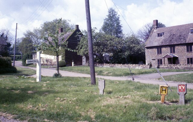
Image: © Martin Richard Phelan Taken: Unknown
A July day in the Northamptonshire village of Hellidon. The road north to Lower Catesby Image forms part of the Jurassic Way. This follows a band of limestone from Banbury Image in Oxfordshire for 88 miles to its opposite end at Stamford Image in Lincolnshire. The village is the source of the River Leam, which after 25 miles joins the River Avon Image just south of the A445 between Warwick and Leamington Spa, to give it its full title. The right hand arm of the signpost reads 'LOWER CATESBY GATED ROAD' and the left hand arm 'CHARWELTON 2'. Time photo taken not available.
Images are licensed for reuse under creativecommons.org/licenses/by-sa/2.0
Image Location
Latitude
52.221502
Longitude
-1.247972