Edwards Lane
Introduction
The photograph on this page of Edwards Lane by Alan Murray-Rust as part of the Geograph project.
The Geograph project started in 2005 with the aim of publishing, organising and preserving representative images for every square kilometre of Great Britain, Ireland and the Isle of Man.

There are currently over 7.5m images from over 14,400 individuals and you can help contribute to the project by visiting https://www.geograph.org.uk
Edwards Lane
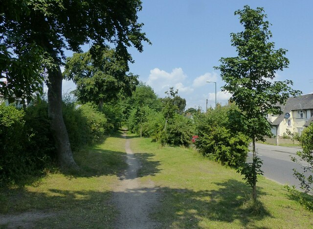
Image: © Alan Murray-Rust Taken: 20 Jul 2021
Recreating this 'First' for the square https://www.geograph.org.uk/photo/18536 . Strictly this is Magnus Road, with Edwards Lane on the other side of the left hand hedge, but the two effectively are a dual carriageway with this wide central reservation.
Images are licensed for reuse under creativecommons.org/licenses/by-sa/2.0
Image Location
Latitude
52.984328
Longitude
-1.145573