View from Long Lane towards new residential development
Introduction
The photograph on this page of View from Long Lane towards new residential development by Euchiasmus as part of the Geograph project.
The Geograph project started in 2005 with the aim of publishing, organising and preserving representative images for every square kilometre of Great Britain, Ireland and the Isle of Man.

There are currently over 7.5m images from over 14,400 individuals and you can help contribute to the project by visiting https://www.geograph.org.uk
View from Long Lane towards new residential development
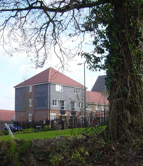
Image: © Euchiasmus Taken: 1 Mar 2008
Long Lane was the original narrow country road running south from the Thornhill crossroads on the A33. It is now a pedestrian/cycle track and a sizeable residential development has been constructed to the east and south.
Images are licensed for reuse under creativecommons.org/licenses/by-sa/2.0
Image Location
Latitude
51.28778
Longitude
-1.052377