2008 : Greenhill south west of Corsham
Introduction
The photograph on this page of 2008 : Greenhill south west of Corsham by Maurice Pullin as part of the Geograph project.
The Geograph project started in 2005 with the aim of publishing, organising and preserving representative images for every square kilometre of Great Britain, Ireland and the Isle of Man.

There are currently over 7.5m images from over 14,400 individuals and you can help contribute to the project by visiting https://www.geograph.org.uk
2008 : Greenhill south west of Corsham
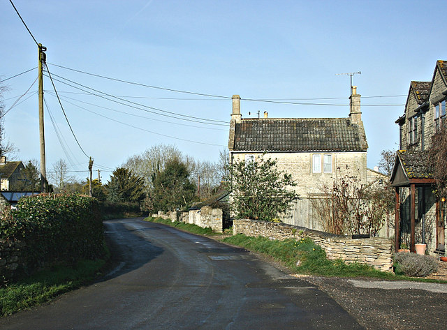
Image: © Maurice Pullin Taken: 25 Feb 2008
Another example of the group of hamlets gathered to the south and west of Corsham. An interesting area, it contains the eastern end of the Box Tunnel, industrial estates, stone mines and an R.A.F. Station.
Images are licensed for reuse under creativecommons.org/licenses/by-sa/2.0
Image Location
Latitude
51.42055
Longitude
-2.206896