Camden Street
Introduction
The photograph on this page of Camden Street by Ian Capper as part of the Geograph project.
The Geograph project started in 2005 with the aim of publishing, organising and preserving representative images for every square kilometre of Great Britain, Ireland and the Isle of Man.

There are currently over 7.5m images from over 14,400 individuals and you can help contribute to the project by visiting https://www.geograph.org.uk
Camden Street
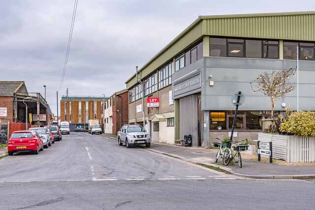
Image: © Ian Capper Taken: 21 Jan 2022
Originally a road of Victorian terraced housing, marked as Camden Place on the 1879 6 inch map, by the time of the 1932 25 inch map it had been renamed Camden Street. It now serves South Portslade Industrial Estate.
Images are licensed for reuse under creativecommons.org/licenses/by-sa/2.0
Image Location
Latitude
50.830252
Longitude
-0.210245