Shotley Bridge Station (as was)
Introduction
The photograph on this page of Shotley Bridge Station (as was) by Oliver Dixon as part of the Geograph project.
The Geograph project started in 2005 with the aim of publishing, organising and preserving representative images for every square kilometre of Great Britain, Ireland and the Isle of Man.

There are currently over 7.5m images from over 14,400 individuals and you can help contribute to the project by visiting https://www.geograph.org.uk
Shotley Bridge Station (as was)
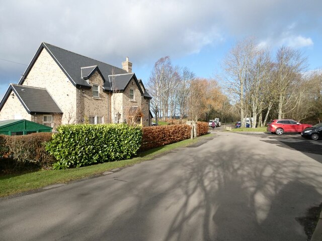
Image: © Oliver Dixon Taken: 9 Feb 2022
Shotley Bridge Station on the Derwent Valley line opened in 1867, closed in 1953. It now forms one of the staging points on the popular Derwent Walk (National Cycle Network route 14) with a car park occupying the station site. The much-renovated Station Cottages stand on the left.
Images are licensed for reuse under creativecommons.org/licenses/by-sa/2.0
Image Location
Latitude
54.875621
Longitude
-1.841167