Rothiemay Parish Kirk
Introduction
The photograph on this page of Rothiemay Parish Kirk by Anne Burgess as part of the Geograph project.
The Geograph project started in 2005 with the aim of publishing, organising and preserving representative images for every square kilometre of Great Britain, Ireland and the Isle of Man.

There are currently over 7.5m images from over 14,400 individuals and you can help contribute to the project by visiting https://www.geograph.org.uk
Rothiemay Parish Kirk
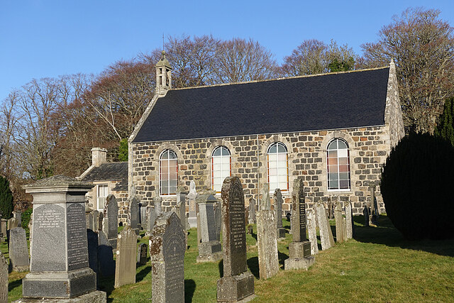
Image: © Anne Burgess Taken: 4 Feb 2022
The kirk dates from 1807 and is a Category B Listed building. It incorporates some features from earlier buildings. See http://portal.historicenvironment.scot/designation/LB15616 for more details.
Images are licensed for reuse under creativecommons.org/licenses/by-sa/2.0
Image Location
Latitude
57.523485
Longitude
-2.757498