London Road at Eastern Way junction
Introduction
The photograph on this page of London Road at Eastern Way junction by Roger Templeman as part of the Geograph project.
The Geograph project started in 2005 with the aim of publishing, organising and preserving representative images for every square kilometre of Great Britain, Ireland and the Isle of Man.

There are currently over 7.5m images from over 14,400 individuals and you can help contribute to the project by visiting https://www.geograph.org.uk
London Road at Eastern Way junction
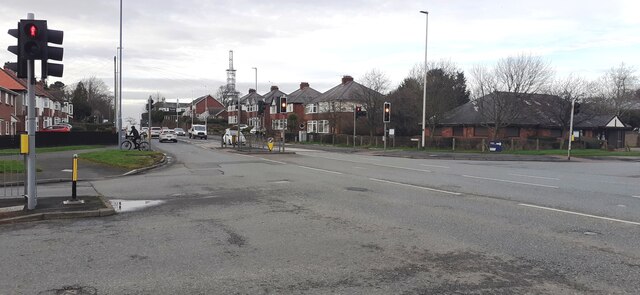
Image: © Roger Templeman Taken: 8 Feb 2022
Ordnance Survey documents indicate that a benchmark was levelled at 119.392 feet above Liverpool Datum on a gatepost here (before Eastern Way was constructed) during the Ordnance Survey 1GL 1841-1844 Liverpool to Port Carlisle Survey. The surveyor's description was 'No. 464. Mark on pier of gate at East side of road ; 4.82 ft. above surface'
Images are licensed for reuse under creativecommons.org/licenses/by-sa/2.0
Image Location
Latitude
54.879232
Longitude
-2.910172