Pennine Bridleway on the access road to Leach Farm
Introduction
The photograph on this page of Pennine Bridleway on the access road to Leach Farm by Christine Johnstone as part of the Geograph project.
The Geograph project started in 2005 with the aim of publishing, organising and preserving representative images for every square kilometre of Great Britain, Ireland and the Isle of Man.

There are currently over 7.5m images from over 14,400 individuals and you can help contribute to the project by visiting https://www.geograph.org.uk
Pennine Bridleway on the access road to Leach Farm
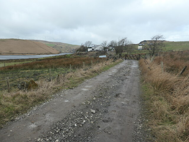
Image: © Christine Johnstone Taken: 1 Feb 2022
East of Higher Chelburn reservoir. The farm is shown on the large-scale OS map surveyed in 1848.
Images are licensed for reuse under creativecommons.org/licenses/by-sa/2.0
Image Location
Latitude
53.659191
Longitude
-2.066391