Farm road and bridleway north-west of Seisdon in Staffordshire
Introduction
The photograph on this page of Farm road and bridleway north-west of Seisdon in Staffordshire by Roger Kidd as part of the Geograph project.
The Geograph project started in 2005 with the aim of publishing, organising and preserving representative images for every square kilometre of Great Britain, Ireland and the Isle of Man.

There are currently over 7.5m images from over 14,400 individuals and you can help contribute to the project by visiting https://www.geograph.org.uk
Farm road and bridleway north-west of Seisdon in Staffordshire
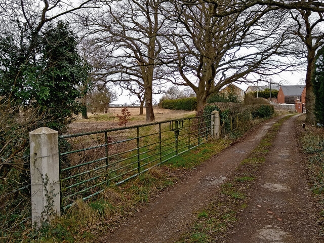
Image: © Roger Kidd Taken: 3 Feb 2022
The driveway leads to Blakeley Pool Farm. The bridleway towards Bridgnorth Road leads off to the left before the farm entrance, but is blocked by a padlocked gate here (and again near Birches Farm), so its current status needs checking. Walkers access the track a few metres past this gate. Horse riders can not pass.
Images are licensed for reuse under creativecommons.org/licenses/by-sa/2.0
Image Location
Latitude
52.560031
Longitude
-2.254409