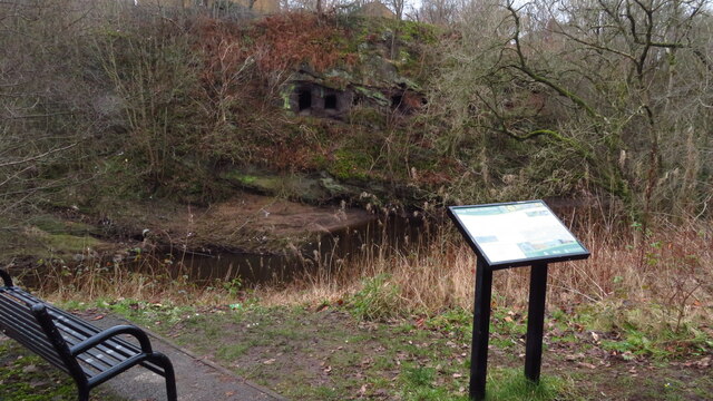
Brinksway Caves above the River Mersey, Stockport
Introduction
The photograph on this page of Brinksway Caves above the River Mersey, Stockport by Colin Park as part of the Geograph project.
The Geograph project started in 2005 with the aim of publishing, organising and preserving representative images for every square kilometre of Great Britain, Ireland and the Isle of Man.
There are currently over 7.5m images from over 14,400 individuals and you can help contribute to the project by visiting https://www.geograph.org.uk

Image: © Colin Park Taken: 22 Jan 2022
The caves date back to at least 1670, possibly excavated by workers from the local corn mill tunnels or by the river wideners, both of whom had the tools and experience to construct these caves. The caves are also believed to have been constructed by navvies working on the Stockport Viaduct, though it is likely that this was an expansion of pre-existing minor cave network. The caves functioned as a residence for the workers, as they were unable to acquire lodging due to poor pay. Following the construction of the viaduct, the caves began to be used for industrial purposes, with an 1881 query to the Stockport Advertiser noting that they had been used as a manufactory for 30 years. In 1851, the caves were used as a distillery for purifying gas tar to produce naphtha. Shortly before the Second World War in 1938, sections of the caves were excavated to construct air raid shelters, the first of which opened on 28 October 1939. As the threat of bombing has subsided by 1943, the shelters were no longer open every night. (source Wikipedia)

