Manor Farm House and the church, Steeple Claydon
Introduction
The photograph on this page of Manor Farm House and the church, Steeple Claydon by Humphrey Bolton as part of the Geograph project.
The Geograph project started in 2005 with the aim of publishing, organising and preserving representative images for every square kilometre of Great Britain, Ireland and the Isle of Man.

There are currently over 7.5m images from over 14,400 individuals and you can help contribute to the project by visiting https://www.geograph.org.uk
Manor Farm House and the church, Steeple Claydon
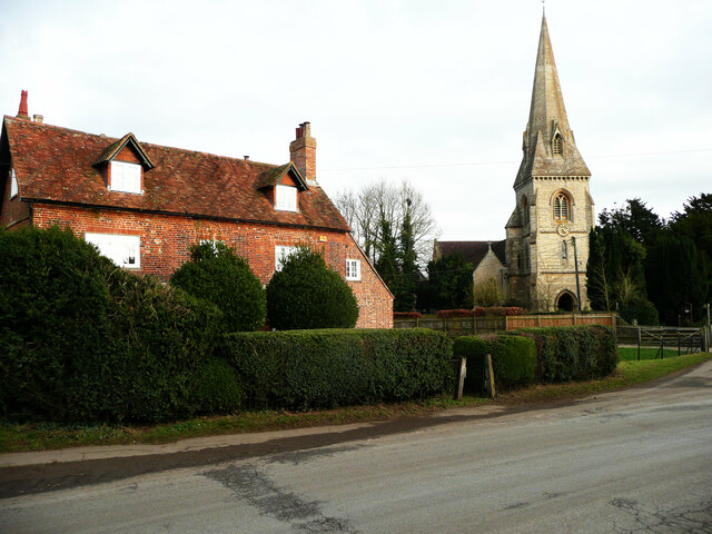
Image: © Humphrey Bolton Taken: 30 Jan 2022
The house was built in the 18C and is listed, Grade II.
Images are licensed for reuse under creativecommons.org/licenses/by-sa/2.0
Image Location
Latitude
51.934985
Longitude
-0.976261