A Corner on the Route
Introduction
The photograph on this page of A Corner on the Route by Des Blenkinsopp as part of the Geograph project.
The Geograph project started in 2005 with the aim of publishing, organising and preserving representative images for every square kilometre of Great Britain, Ireland and the Isle of Man.

There are currently over 7.5m images from over 14,400 individuals and you can help contribute to the project by visiting https://www.geograph.org.uk
A Corner on the Route
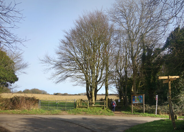
Image: © Des Blenkinsopp Taken: 28 Jan 2022
The 1066 Country Route and National Cycle Route 2 head off to the left, while an ordinary footpath carries on ahead to the Hastings Country Park visitor centre.
Images are licensed for reuse under creativecommons.org/licenses/by-sa/2.0
Image Location


Leaflet Map data © OpenStreetMap
Latitude
50.872439
Longitude
0.626301