The Craigdhu Burn
Introduction
The photograph on this page of The Craigdhu Burn by Richard Sutcliffe as part of the Geograph project.
The Geograph project started in 2005 with the aim of publishing, organising and preserving representative images for every square kilometre of Great Britain, Ireland and the Isle of Man.

There are currently over 7.5m images from over 14,400 individuals and you can help contribute to the project by visiting https://www.geograph.org.uk
The Craigdhu Burn
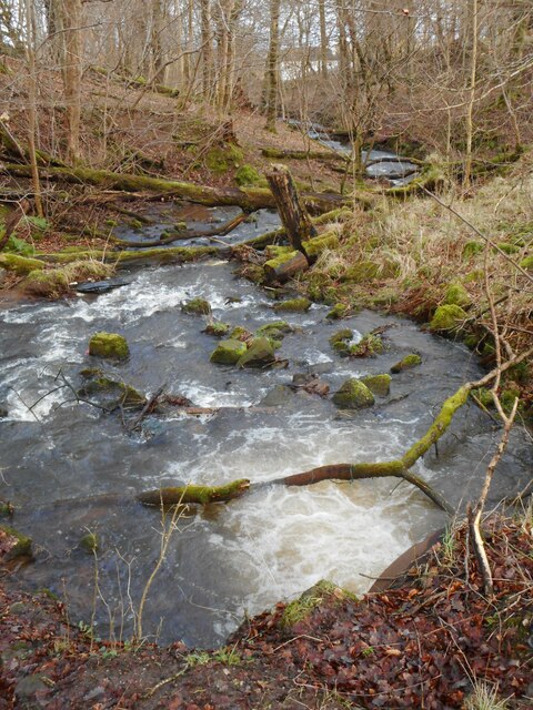
Image: © Richard Sutcliffe Taken: 6 Feb 2022
Looking downstream from where the burn comes through a concrete pipe. Compare this view with one when the water level was lower Image
Images are licensed for reuse under creativecommons.org/licenses/by-sa/2.0
Image Location
Latitude
55.93935
Longitude
-4.33792